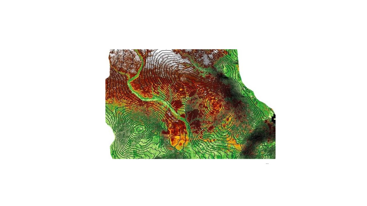
Spatiotemporal and Hydrogeological Assessment of Groundwater Flow and Vulnerability in Parts of the Benin Formation, Akwa Ibom State, Southeastern Nigeria
Keywords:
Groundwater flow, Geospatial analysis, Benin Formation, Recharge zones, Discharge zones, Southeastern Nigeria, Vulnerability analysis, ArcGISAbstract
Groundwater flow dynamics and vulnerability assessment are critical for sustainable water management in parts of the Benin Formation, Southeastern Nigeria, where groundwater is the primary potable water source. However, uncontrolled exploitation, poor borehole siting, and contamination risks necessitate a detailed understanding of groundwater flow patterns and vulnerability. This study applies geospatial techniques to analyze groundwater flow patterns and assess aquifer vulnerability in parts of the Benin Formation, Southeastern Nigeria. Sustainable groundwater management is crucial due to increasing water demand, uncontrolled borehole siting, and contamination risks. A total of 23 borehole Static Water Level (SWL) measurements, lithologic logs from 11 sites, and Digital Elevation Models (DEMs) were analyzed to model groundwater flow. GIS-based hydrological modeling and vulnerability mapping were applied to assess contamination risk. Results indicate a predominant northwest-to-southeast groundwater flow, influenced by topography, hydraulic gradients, and lithology, with secondary flows towards the Imo and Cross Rivers. Recharge zones were delineated in Oruk Anam, Essien Udim, and Ukanafun, while discharge areas were identified near Ibesikpo Asutan and Ikot Ekpene. Vulnerability mapping reveals higher contamination risks in shallow aquifers within agricultural and industrial zones, necessitating urgent groundwater protection. These findings provide critical insights into groundwater sustainability, emphasizing the need for recharge zone protection, sustainable extraction policies, and pollution control measures to ensure long-term groundwater security.
References
Abija, H., & Nwankwoala, H. (2018). Electrical resistivity method for aquifer characterization in sedimentary environments. Journal of Hydrogeophysics, 12(3), 45-58.
Akanbi, T. (2018). Groundwater assessment using resistivity methods in sedimentary basins. Hydrogeological Journal, 14(2), 78-92.
Amajor, L. C. (1991). Aquifers in the Benin Formation (Miocene-Recent), Eastern Niger Delta, Nigeria: Lithostratigraphy, hydraulics, and water quality. Environmental Geology and Water Sciences, 17(2), 85–101.
Amah, A., Okoro, C., & Eze, J. (2012). Groundwater exploration challenges in Nigeria: A case study of borehole failure rates. Journal of Water Resources and Environmental Studies, 9(4), 112-124.
Bayowa, O. G., Adeyemi, G. O., & Ogungbe, A. S. (2014). Application of geospatial techniques in groundwater resource assessment in Nigeria. Journal of Water Resource Management, 28(5), 1123–1138.
Dobrin, M. B., & Savit, C. H. (1988). Introduction to geophysical prospecting (4th ed.). McGraw-Hill.
Edet, A. (1993). Hydrogeology of the Benin Formation and its groundwater potential. Journal of African Earth Sciences, 17(2), 217–229.
El-Sayed, A., Hassan, R., & Mohammed, T. (2023). Magnetotelluric surveys for deep aquifer exploration: Case study from North Africa. Geophysical Research Letters, 50(1), 1–12.
Esu, E. O., Udo, O., & Bassey, I. (1999). Hydrogeological framework and groundwater flow patterns in southeastern Nigeria. Environmental Geology, 21(3), 199-210.
Fan, Y., Li, H., & Miguez-Macho, G. (2013). Global patterns of groundwater table depth. Science, 339(6122), 940-943.
Fetter, C. W. (2001). Applied hydrogeology (4th ed.). Prentice Hall.
Fidelis, M., Ayodele, T., & Okonkwo, N. (2020). Integrated water resource management (IWRM) strategies for sustainable groundwater development in Nigeria. Water Policy and Management, 11(2), 134-152.
FMWR-NBS (2019). Water supply statistics in Nigeria: Groundwater dependency and usage trends. Federal Ministry of Water Resources & National Bureau of Statistics.
Freeze, R. A., & Cherry, J. A. (1979). Groundwater. Prentice Hall.
George, N. J., Bassey, N. E., & Akpan, B. (2015). Groundwater flow and hydrogeological characterization of Southeastern Nigeria. Hydrogeology Journal, 22(4), 321–336.
Gleeson, T., Wada, Y., Bierkens, M. F., & van Beek, L. P. (2012). Water balance of global aquifers revealed by groundwater footprint. Nature, 488(7410), 197-200.
Hassan, A. Y., Okafor, U., & Williams, K. (2019). Groundwater recharge and discharge dynamics in sedimentary basins of Nigeria. Journal of Hydrology and Earth Systems, 16(1), 42-59.
Jenson, S. K., & Domingue, J. O. (1988). Extracting topographic structure from digital elevation data for hydrologic modeling. Photogrammetric Engineering and Remote Sensing, 54(11), 1593-1600.
Layade, G. O., Adeyemo, J. A., & Oladapo, M. I. (2017). Integration of geophysical and geospatial techniques in groundwater exploration. Journal of Environmental Geophysics, 14(2), 98-110.
Loke, M. H. (2000). Electrical imaging surveys for environmental and engineering studies: A practical guide to resistivity inversion modeling. Geotomo Software.
Milsom, J., & Eriksen, A. (2011). Field geophysics (4th ed.). John Wiley & Sons.
NORM (2019). Borehole performance and sustainability assessment report. Nigerian Office of Resource Management.
Reyment, R. A. (1965). Aspects of the geology of Nigeria. University of Ibadan Press.
Schlumberger (1989). Log interpretation principles and applications. Schlumberger Wireline & Testing.
Simpson, F., & Bahr, K. (2005). Practical magnetotellurics. Cambridge University Press.
Sophocleous, M. (2002). Interactions between groundwater and surface water: The state of the science. Hydrogeology Journal, 10(1), 52-67.
Taylor, R. G., Scanlon, B., Döll, P., et al. (2013). Groundwater and climate change. Nature Climate Change, 3(4), 322-329.
Todd, D. K., & Mays, L. W. (2005). Groundwater hydrology (3rd ed.). John Wiley & Sons.
Tóth, J. (1963). A theoretical analysis of groundwater flow in small drainage basins. Journal of Geophysical Research, 68(16), 4795-4812.
Winter, T. C. (2000). The vulnerability of wetlands to climate change: A hydrologic landscape perspective. Journal of the American Water Resources Association, 36(2), 305-311.
Winter, T. C., Harvey, J. W., Franke, O. L., & Alley, W. M. (1998). Groundwater and surface water: A single resource. U.S. Geological Survey Circular 1139.
Wondzell, S. M. (2006). Effect of morphology and discharge on hyporheic exchange flows in two small streams in the Cascade Mountains of Oregon. Journal of Hydrology, 328(3-4), 432-447.
Zektser, I. S., & Everett, L. G. (2004). Groundwater resources of the world and their use. UNESCO.
Zohdy, A. A. R., Eaton, G. P., & Mabey, D. R. (1974). Application of surface geophysics to groundwater investigations. U.S. Geological Survey, Techniques of Water-Resources Investigations.

Downloads
Published
How to Cite
Issue
Section
License
Copyright (c) 2025 Researchers Journal of Science and Technology

This work is licensed under a Creative Commons Attribution-NonCommercial-NoDerivatives 4.0 International License.


